GSOC 2011: OpenStreetMap render for Marble
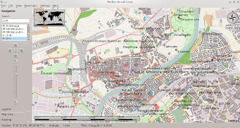
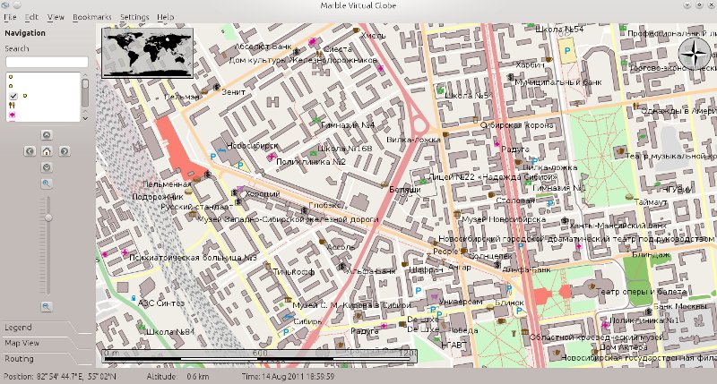
The main goal of this project is to create nice render for OpenStreetMap maps and improve vector rendering in Marble.
Project page: http://socghop.appspot.com/gsoc/project/google/gsoc2011/kosyak/15001
Implemented features
- *.osm xml file parser
- Basic vector rendering
- Common visual categories for osm features
- GeoGraphicsScene for geometry rendering
- Fast tile-based rendering
- Z value in graphics scene
- Improvements in style system:
- Pen cap styling
- Pen and brush pattern support
- Pen width in physical and screen coordinates
TODO
Plans what to do in project (not only during GSOC):
- Highway outlining
- OSM relations (needed for multipolygons)
- Street names
- Addresses
- Addittional OSM objects: subway, bridges/tunnels, etc.
- Filtering by zoom level
Screenshoots
Click to image for full version

Germany/Ulm

Russia/Novosibirsk
Sources
http://quickgit.kde.org/?p=marble.git, branch gsoc2011-osmrender
Contacts
oblaukhov.konstantin(_at_)gmail.com
ObKo, ObKo_log on channel #marble (Freenode)

